
Gallery:
Photos by Luis Moreira


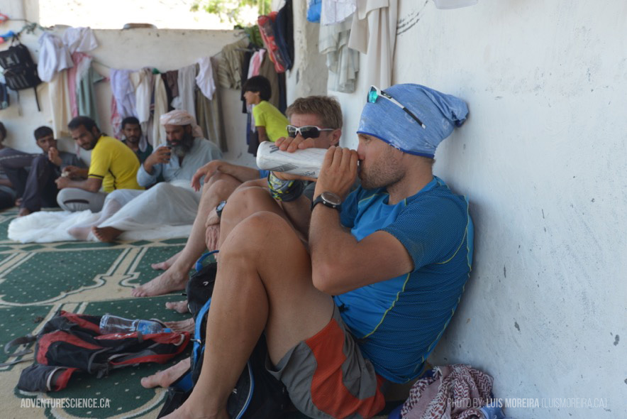
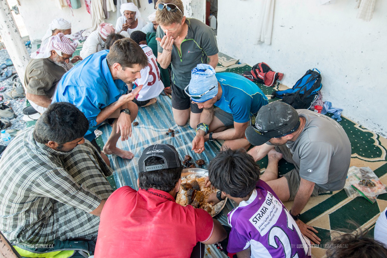

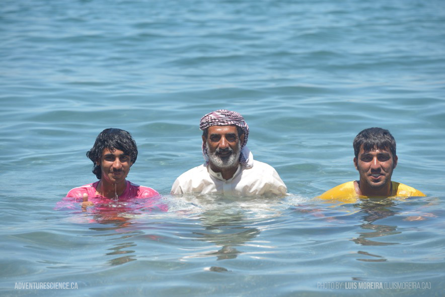
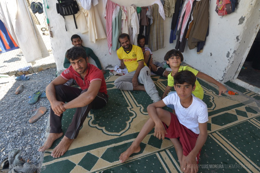
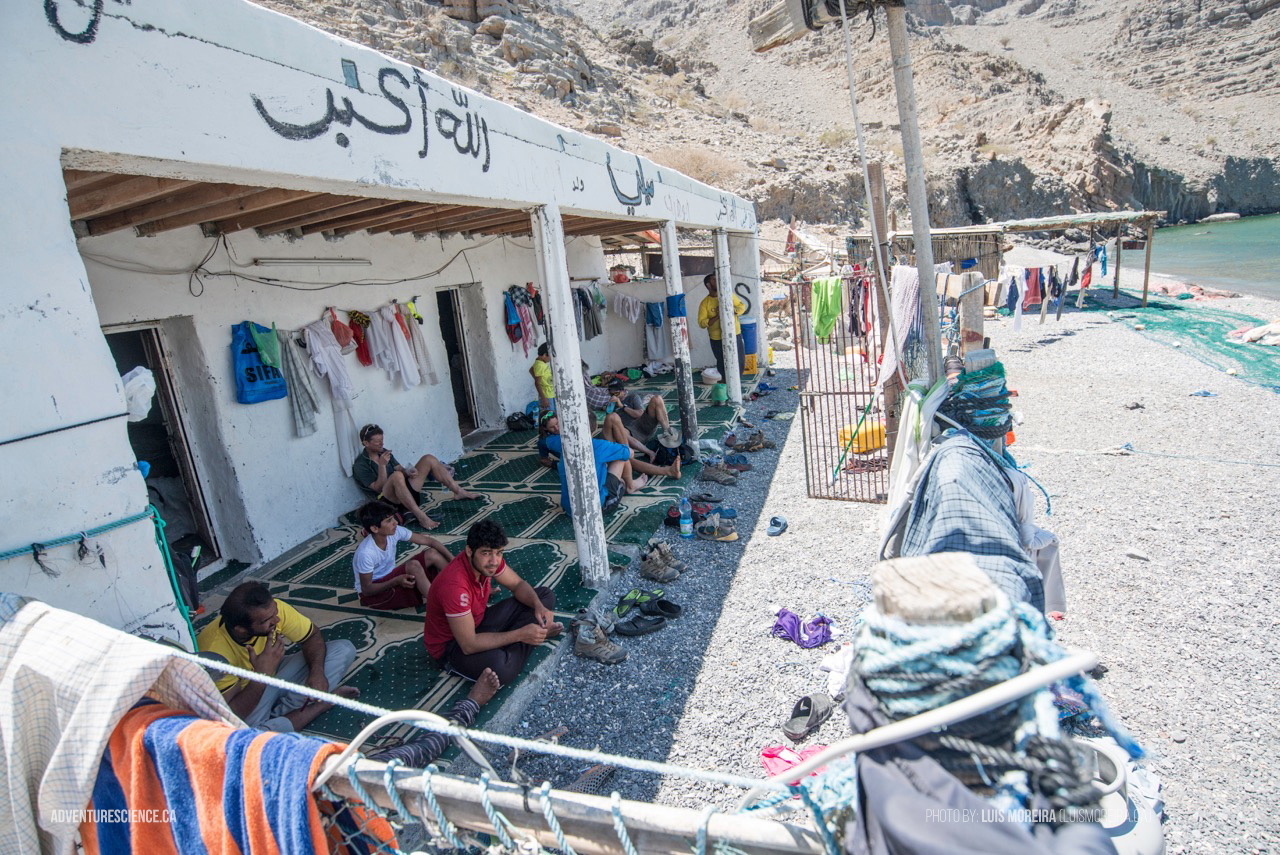
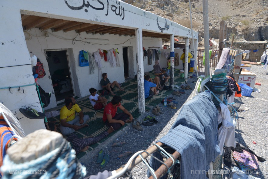
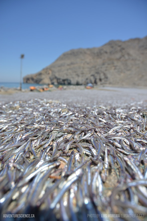

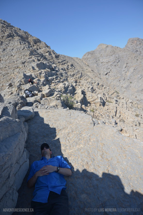


Beyond Roads 2 : The Musandam Oman Expedition
[ April 17 - May 02, 2016 ]
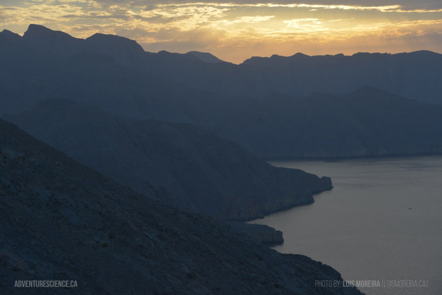
Isolated. Rugged. Desolate and beautiful, Oman is a desert nation containing vast sand seas, rugged coastlines teeming with aquatic life, and a wild and unexplored mountainous hinterland. It is also a country with a rich cultural rooted in antiquity.
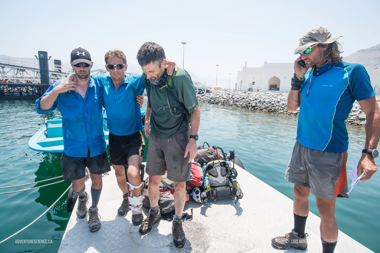
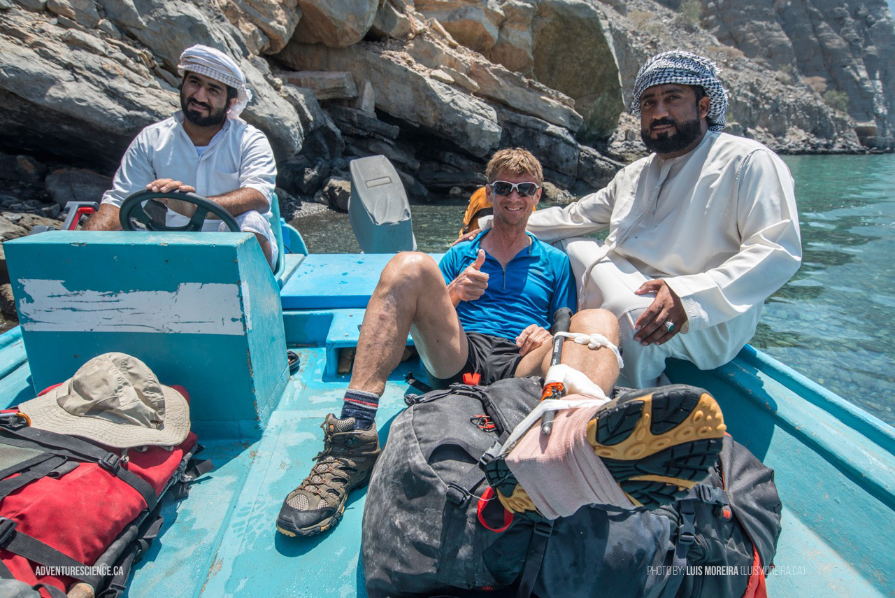
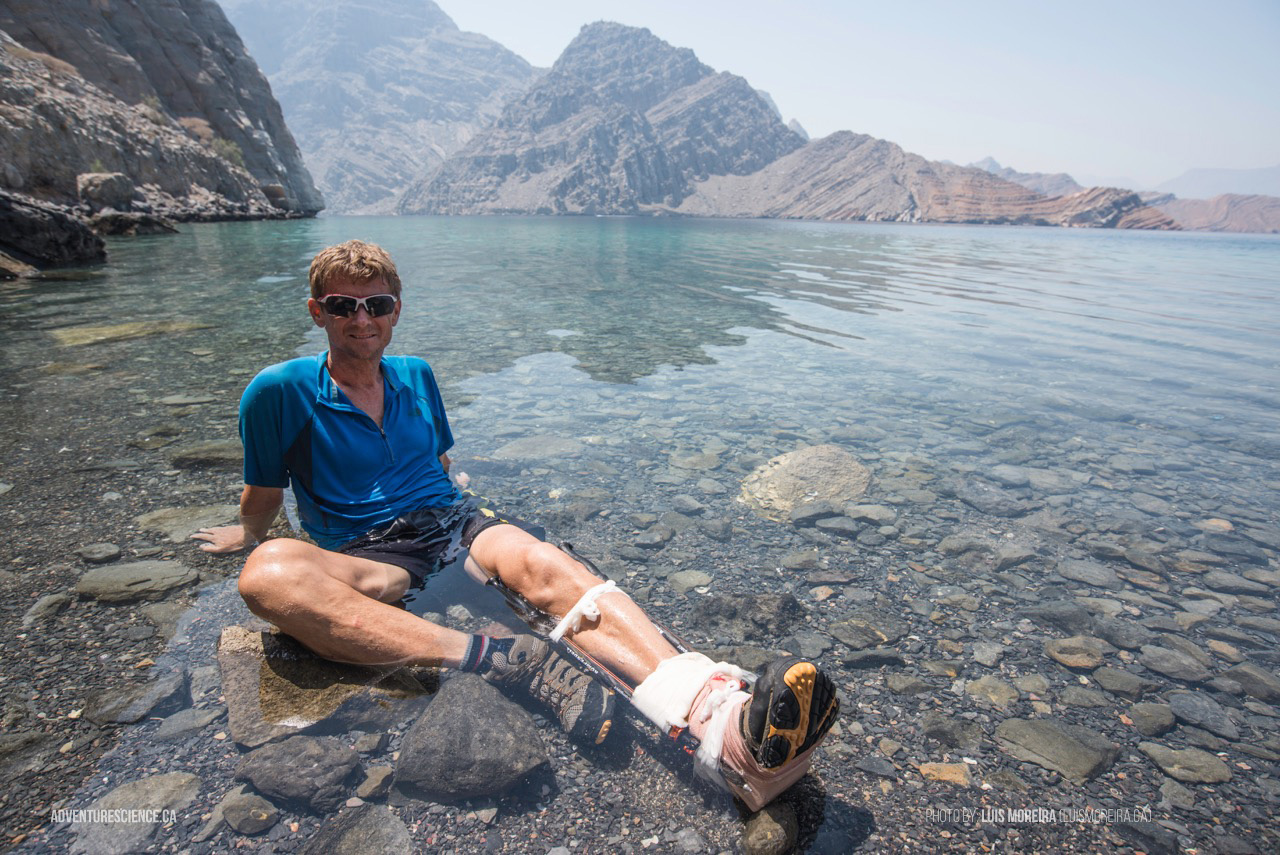
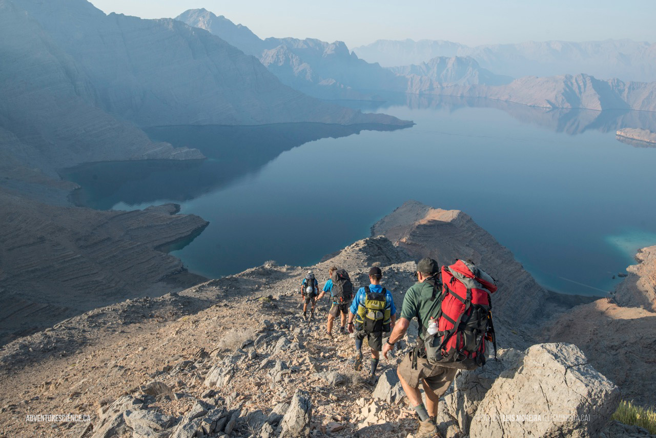
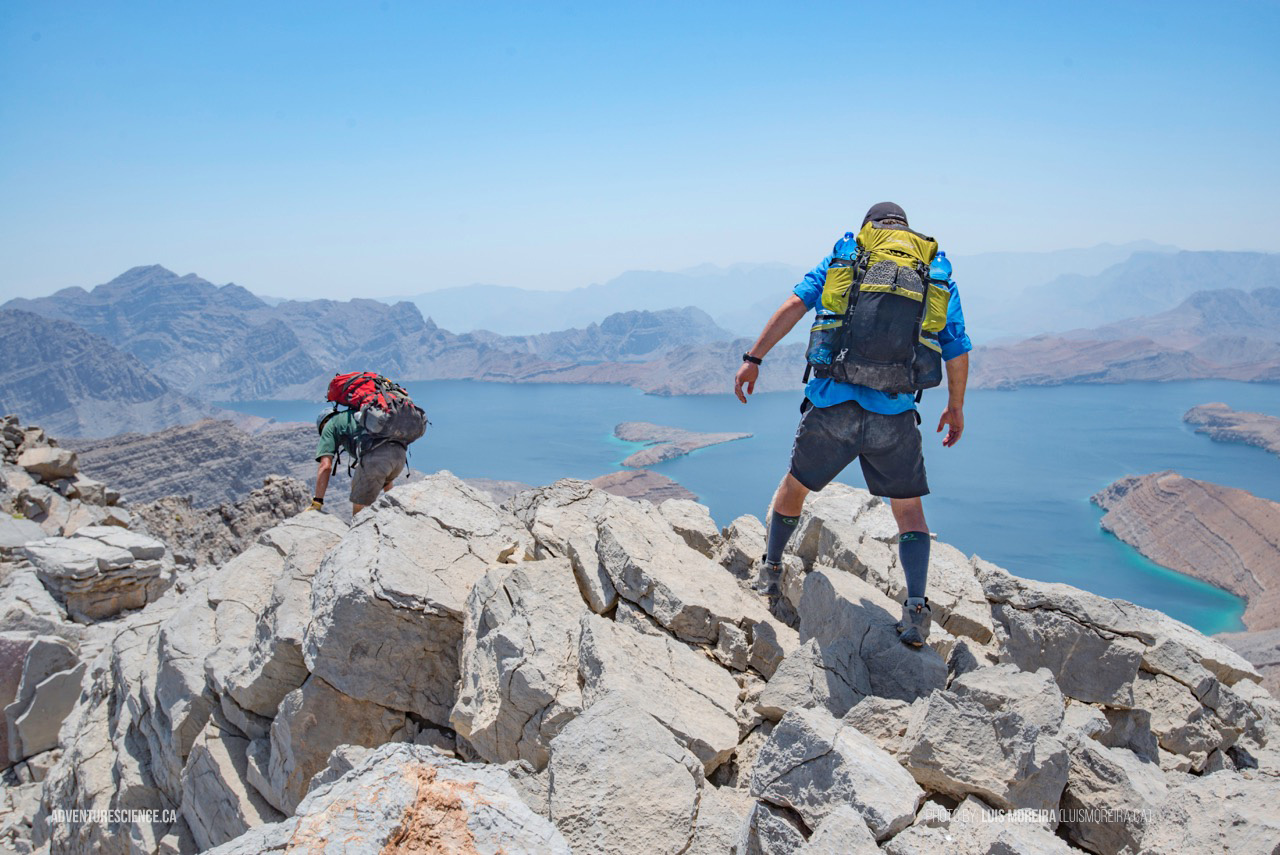
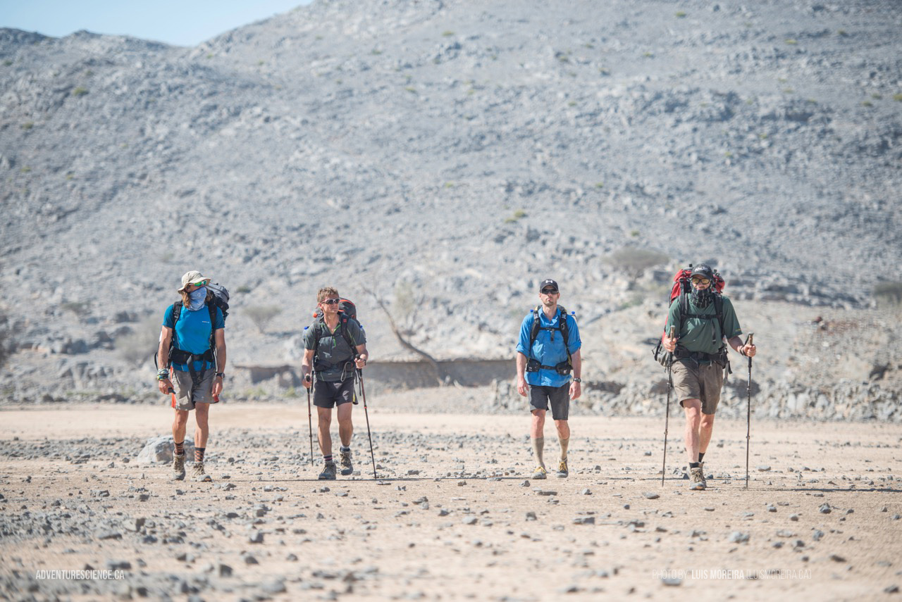
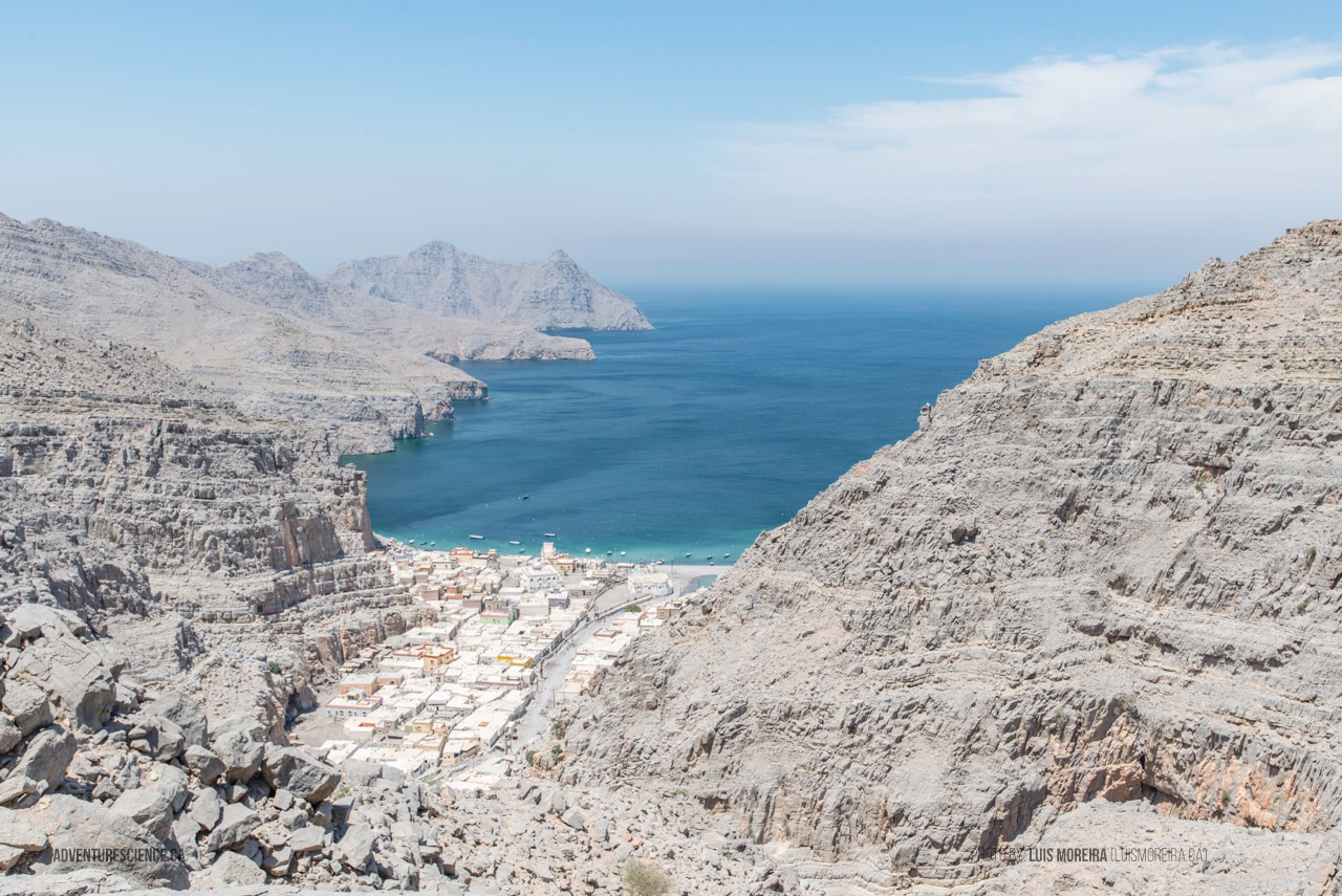
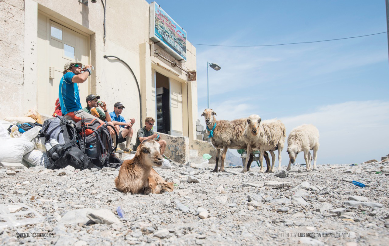
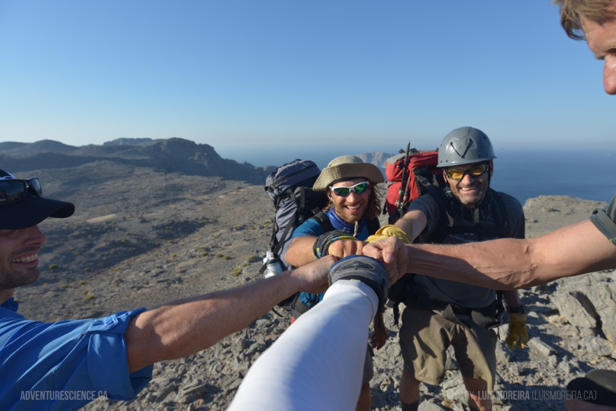
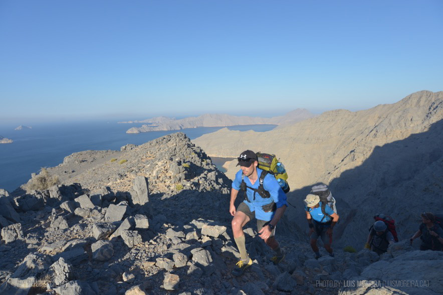
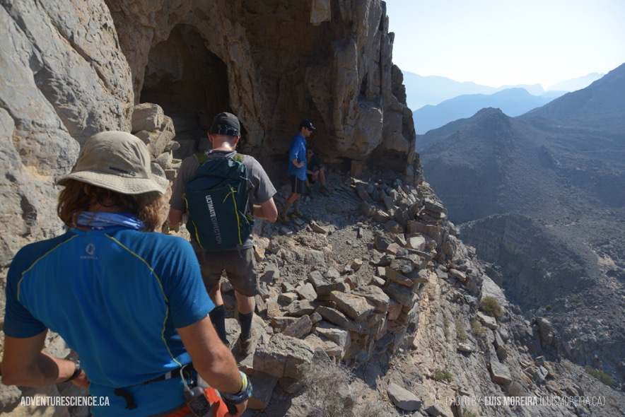
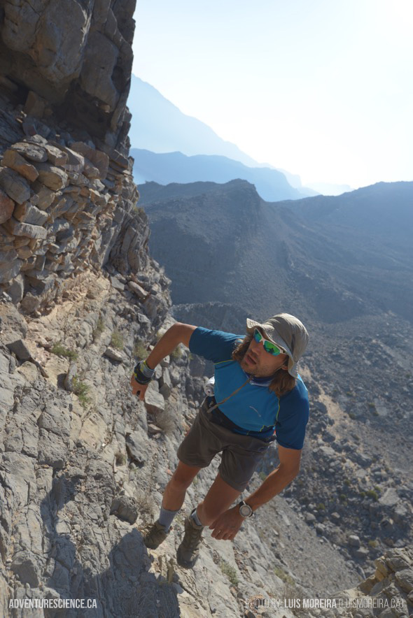
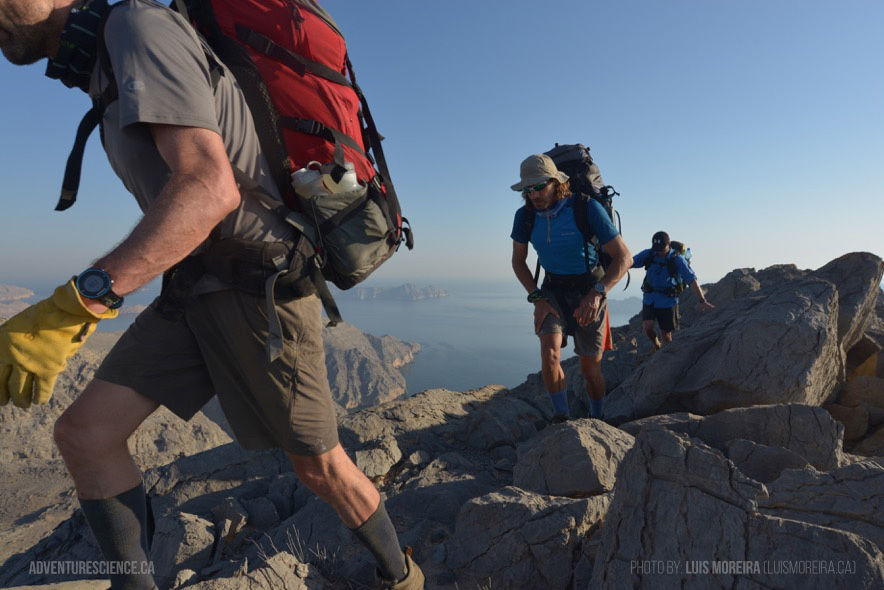
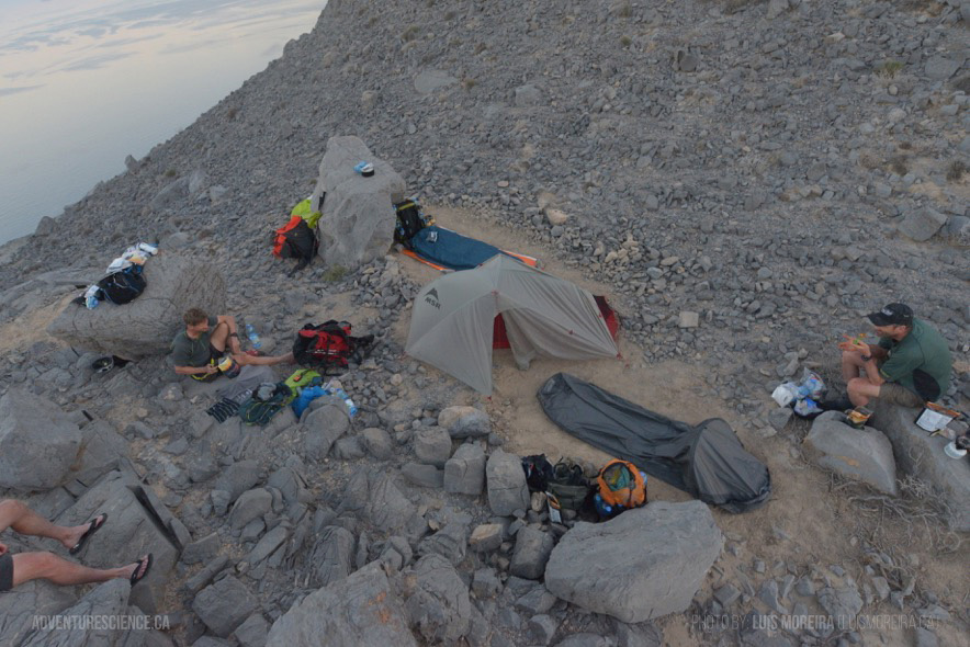
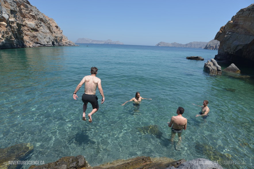
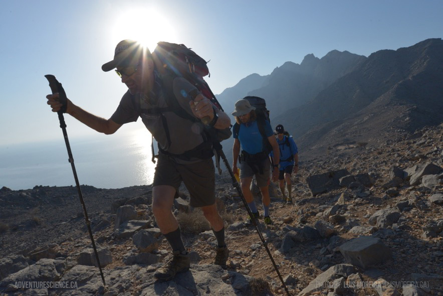
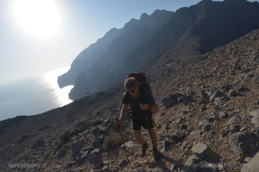
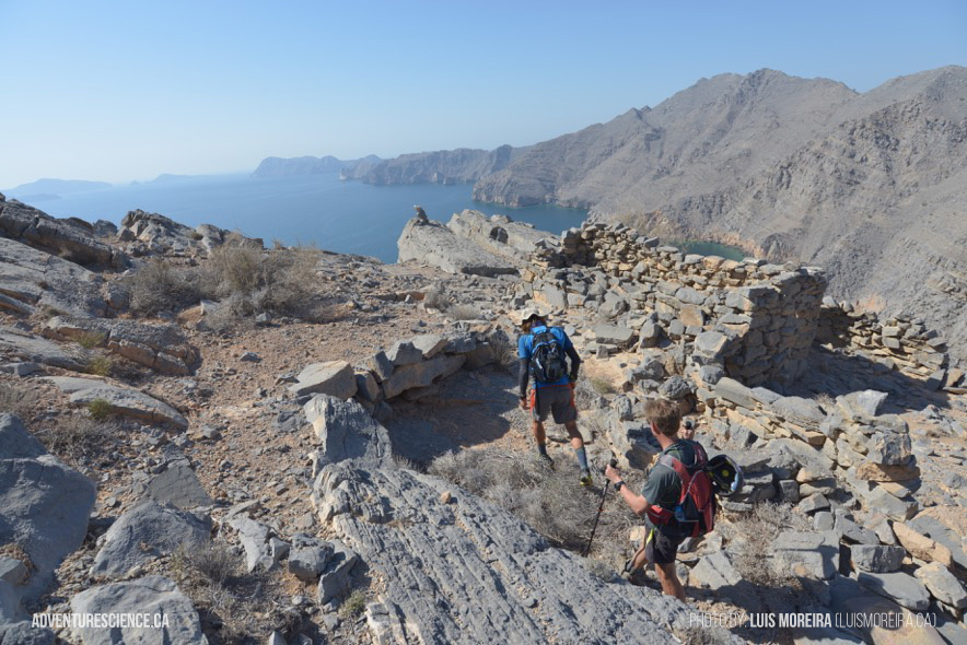
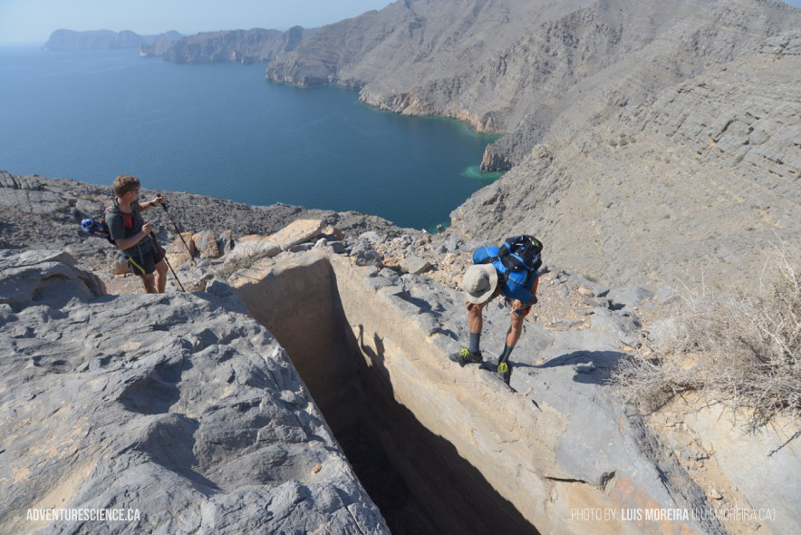
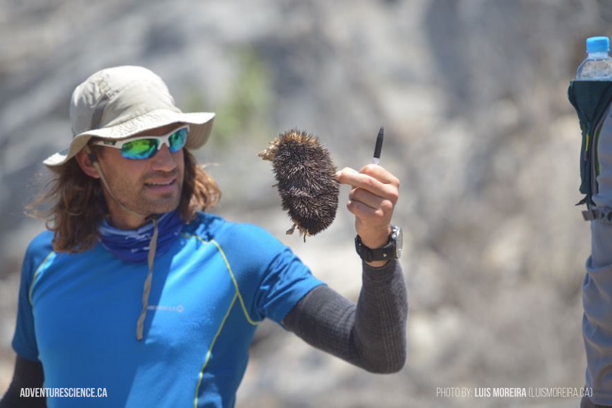
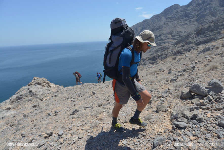
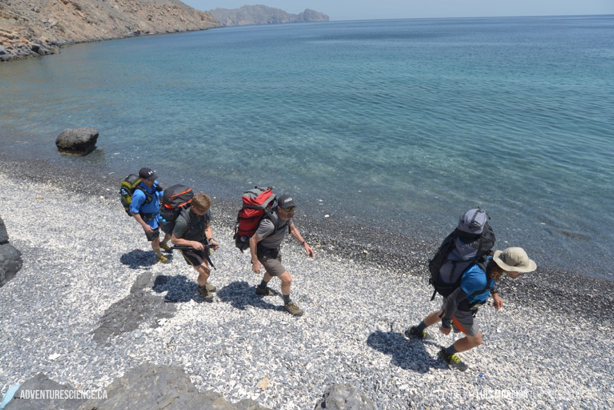
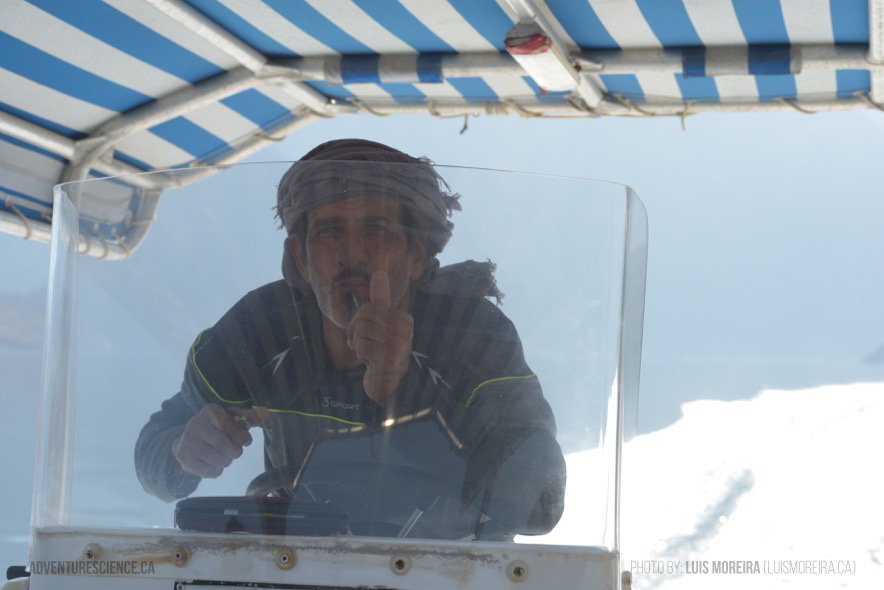
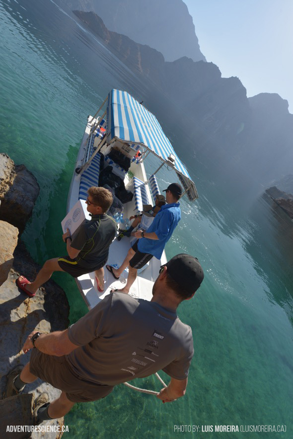
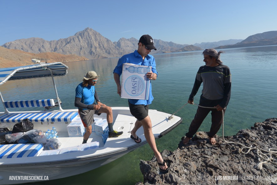
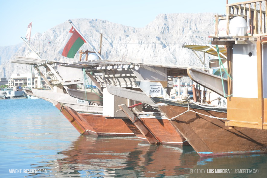
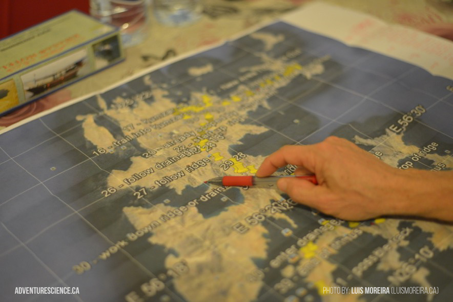
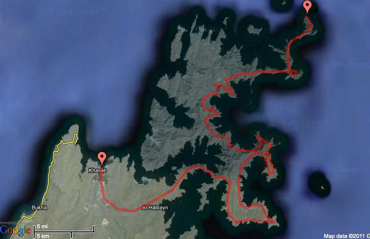
Beyond Roads is an expedition of discovery. Five Adventure Science members are returning to the remote Musandam peninsula at the northern tip of Oman in order to continue their search for undiscovered archaeological sites and the critically endangered Arabian Leopard. The team will be dropped by fishing boat at the northern most tip of the peninsula and will have 10 days to hike over 50 kilometers through rugged mountains to return to civilization in the town of Khasab.
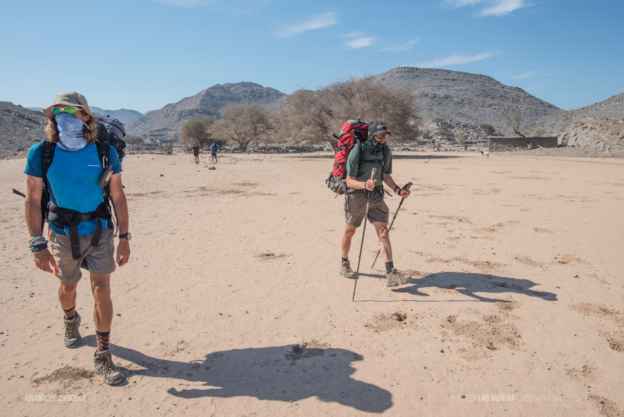
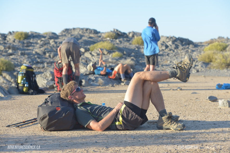
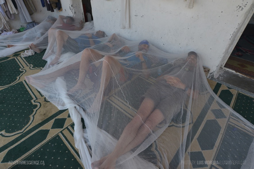
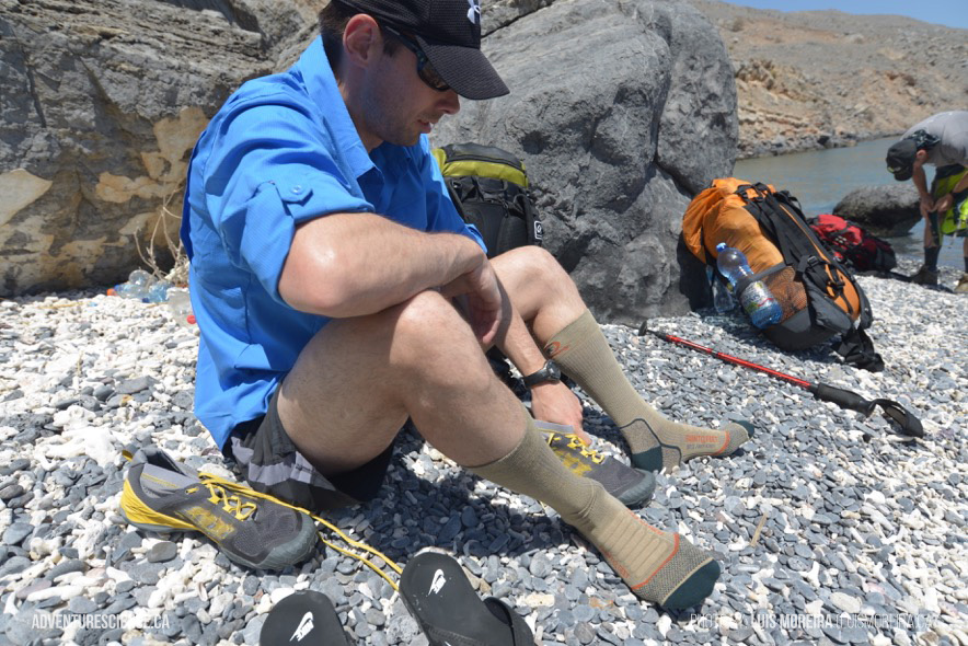
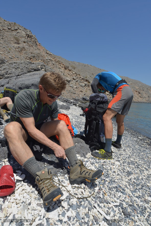
Drinking water will be non-existant and the team will rely on water drops spaced 3 days apart. Their only food and supplies will be limited to what they can carry on their backs. The team will study and explore the vast terrain, employing their skill and speed as adventure athletes to survey large areas daily. In our modern era of high-tech exploration and discovery, we tend to overlook the value of putting people on the ground to see the landscape with their own eyes. This is especially important in physically demanding environments like this, where fitness, experience, and toughness will allow our team to accomplish what others have deemed impossible.
Beyond Roads facts:
Temperature: low 10°C, high 30°C
Risk Factors: dehydration, 1st aid emergencies, scorpions, camel spiders
Water Ration: 3 L per day/person
Food: freeze-dried meals, energy bars
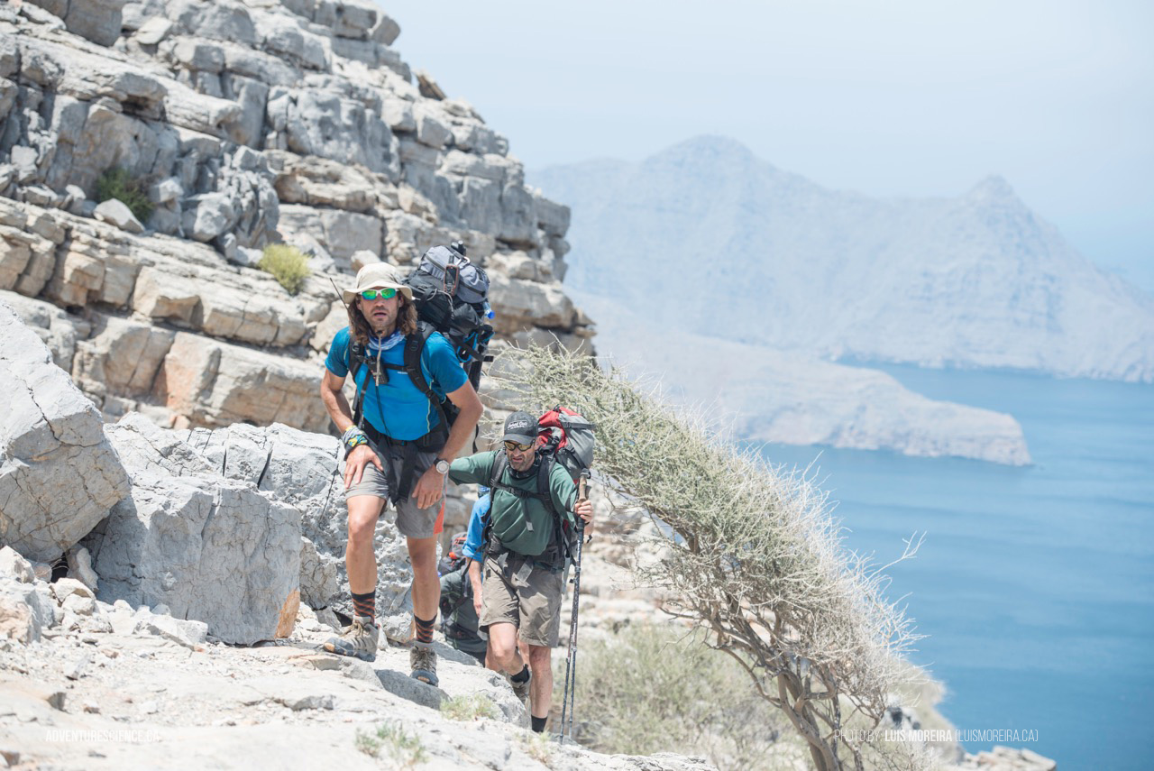
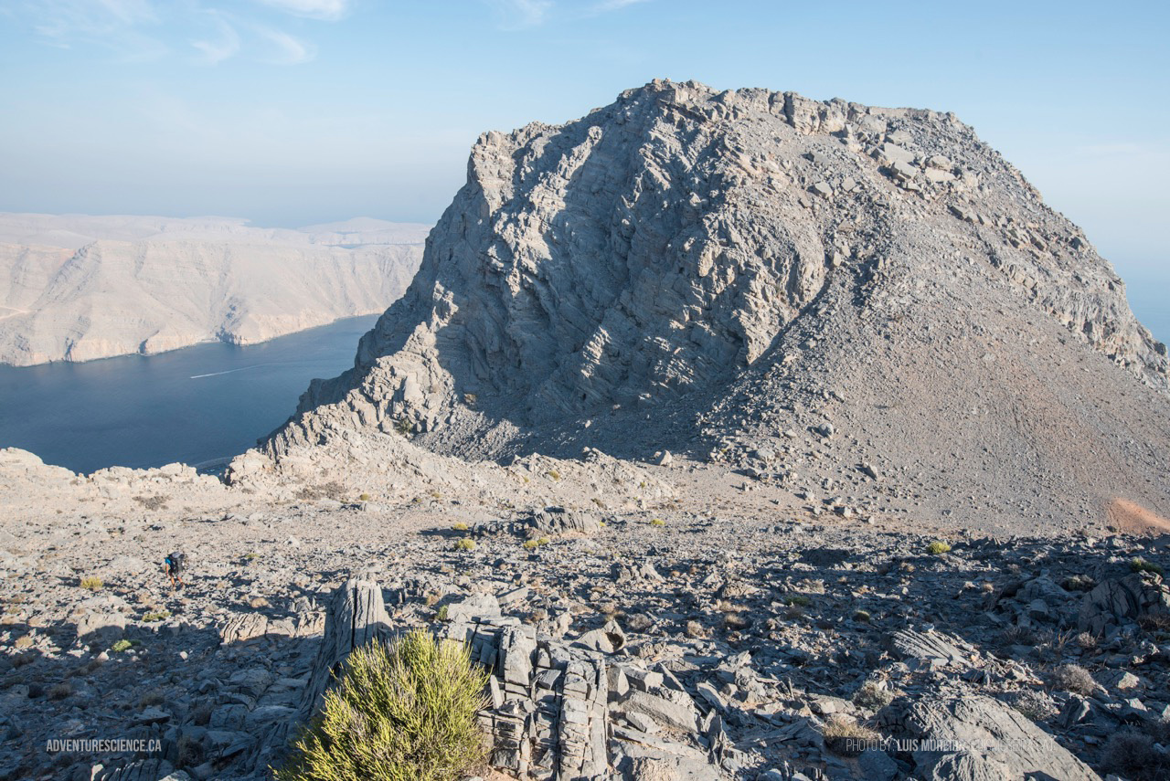
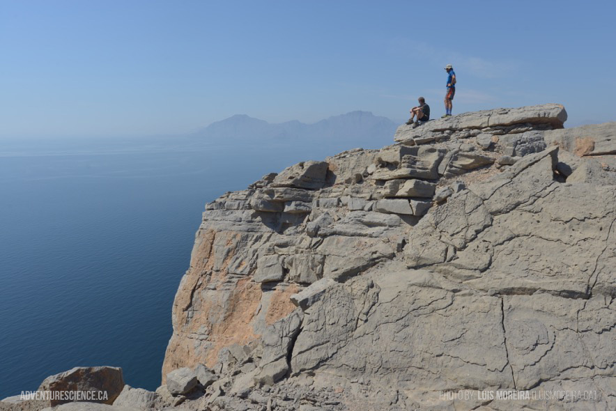
Terrain: rocky beaches, steep mountains, limestone ledges, open plateaus
Elevation: Sea level to over 500 m
Pack Weight: ~ 15 kg
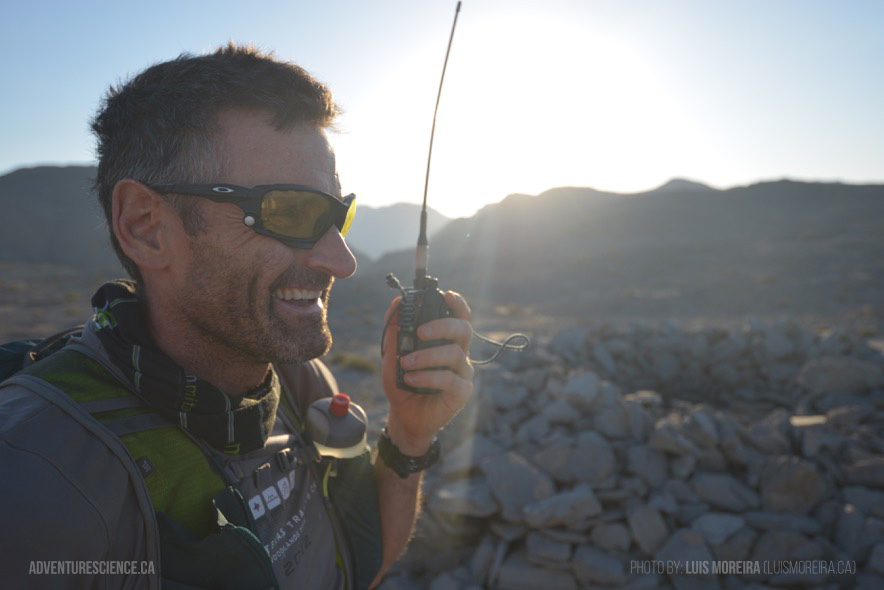
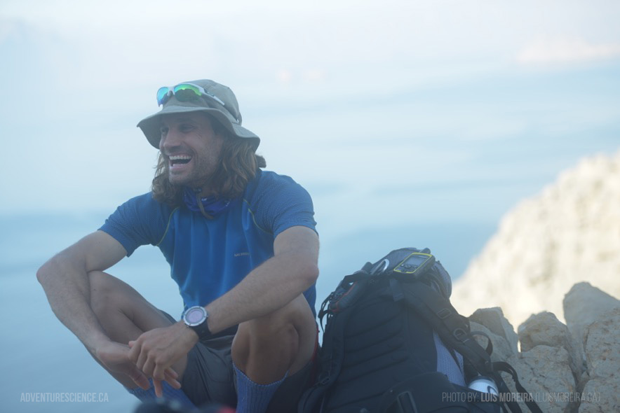
Gear: shovels, notebooks, cameras, climbing ropes and equipment
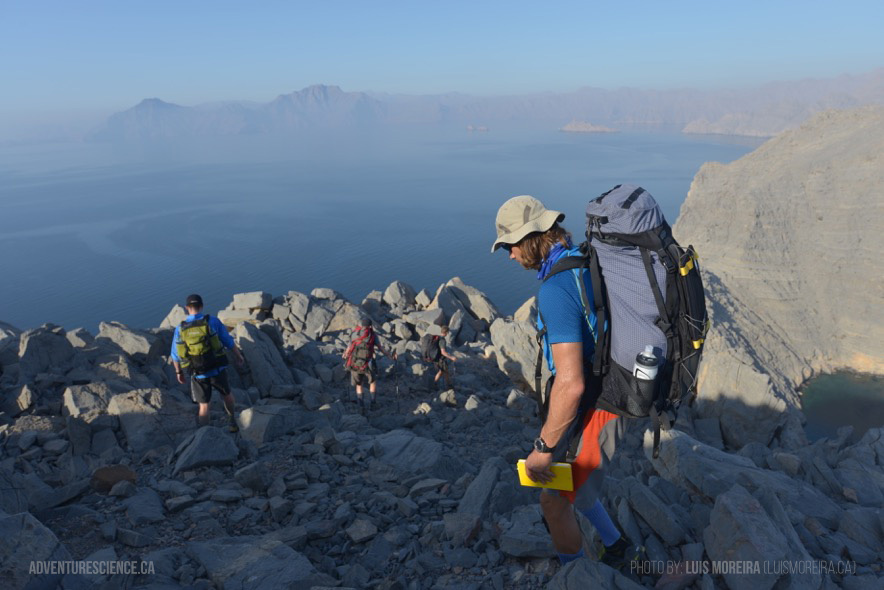
Route: coastline/ridgeline
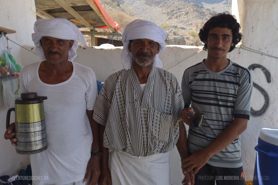
Towns Along Route: Kumzar
Roads: none
Details:
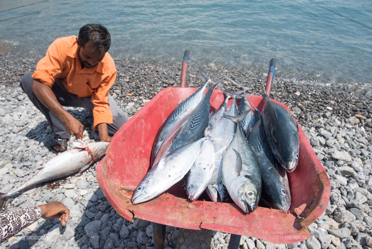
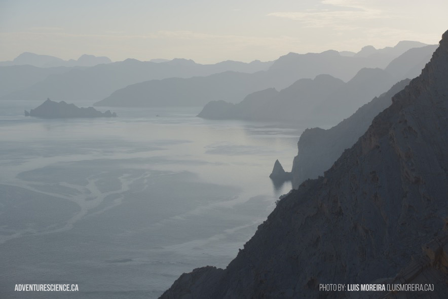
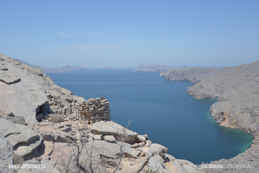
Located at the northern-most tip of Oman, the sparsely populated Musandam Peninsula is an extremely rugged promontory lacking roads, infrastructure, and is highly under-explored. This mountainous isthmus separates the Gulf of Oman from the Persian Gulf by creating the Strait of Hormuz, which has been geographically important for millennia with respect to maritime trade and strategic control of the entrance to the Persian Gulf. Today, it forms the choke point for one of the world's most important petroleum shipping routes, and oil-laden supertankers pass through the Strait on a daily basis.
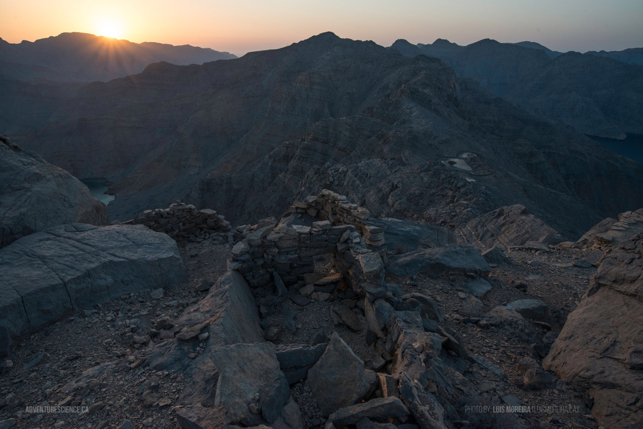
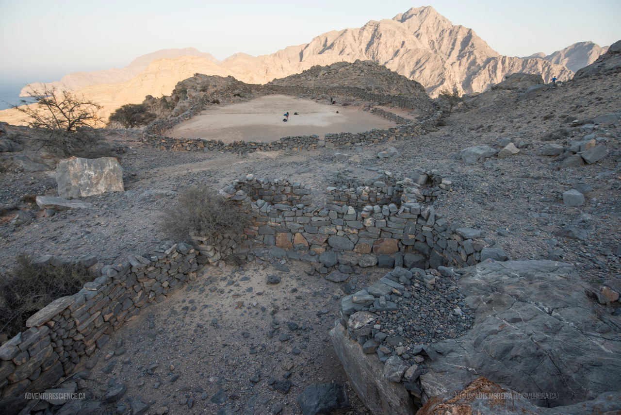
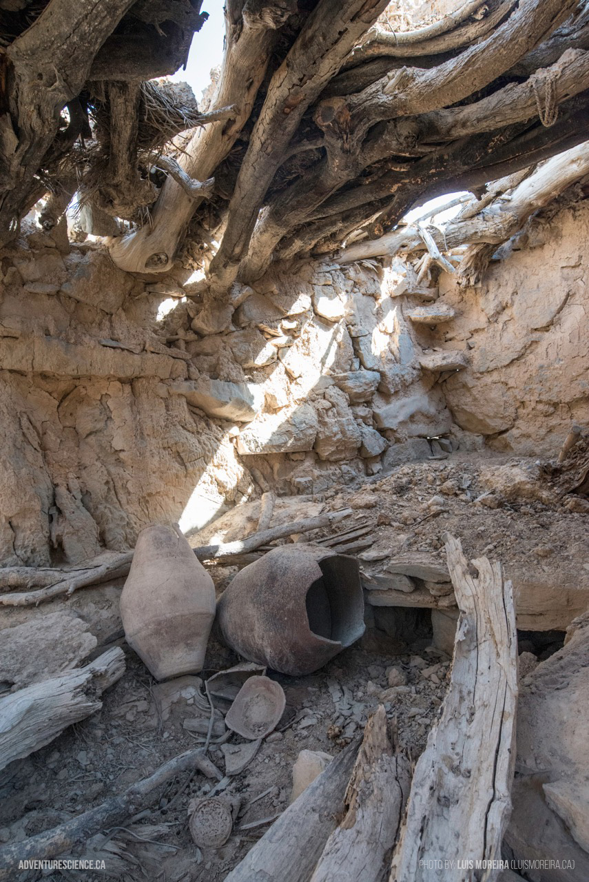
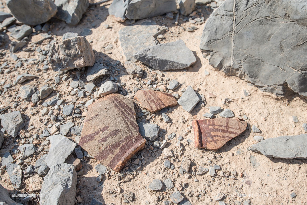
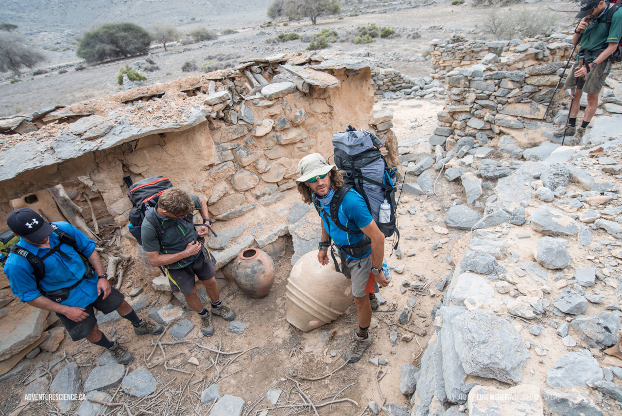
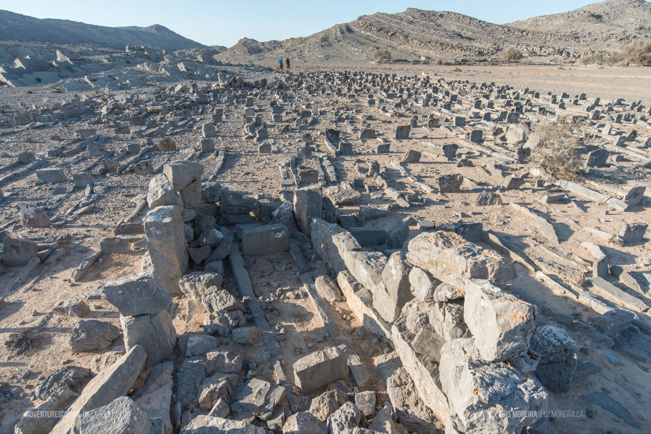
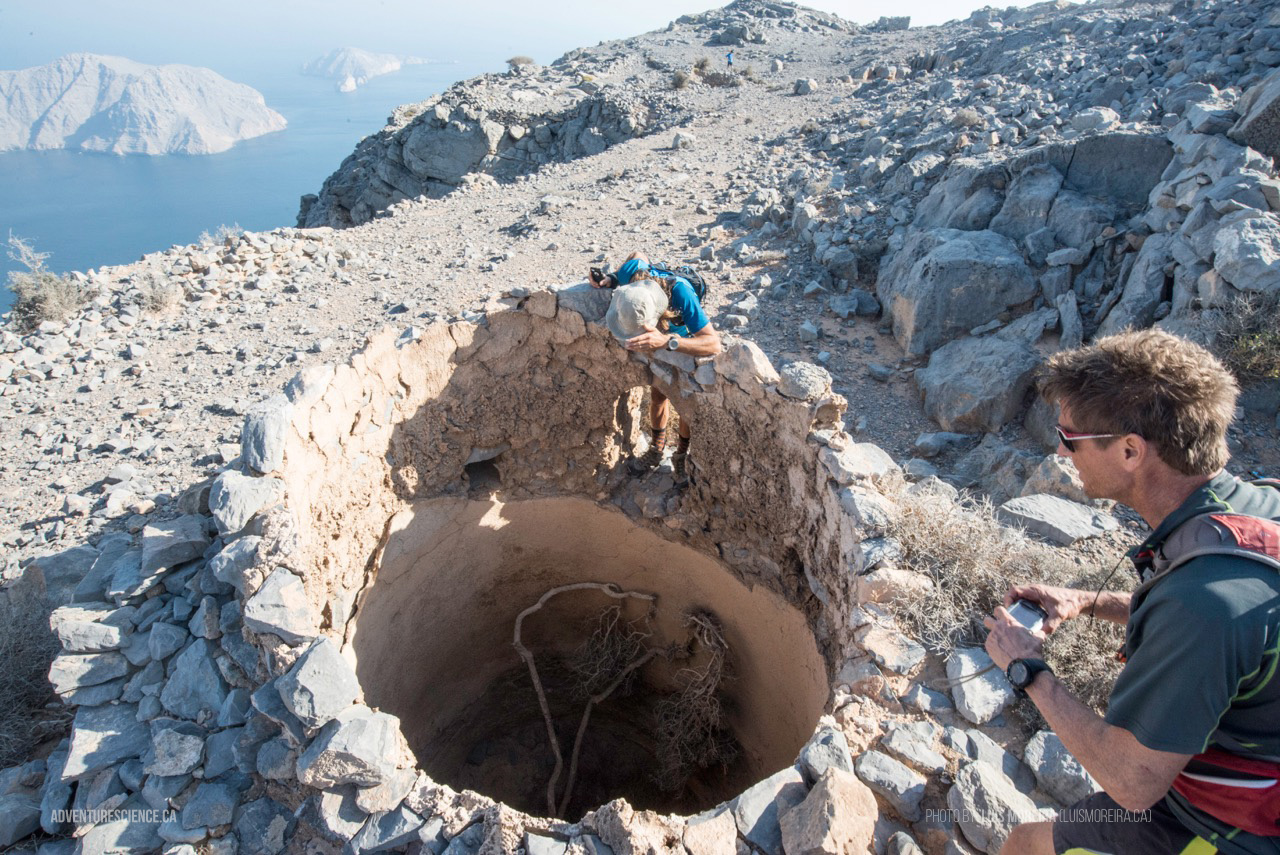
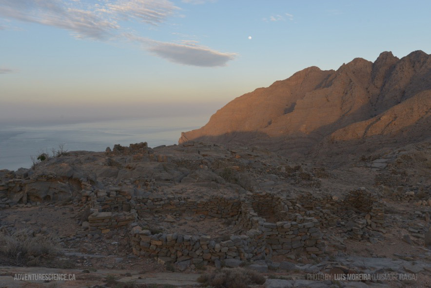
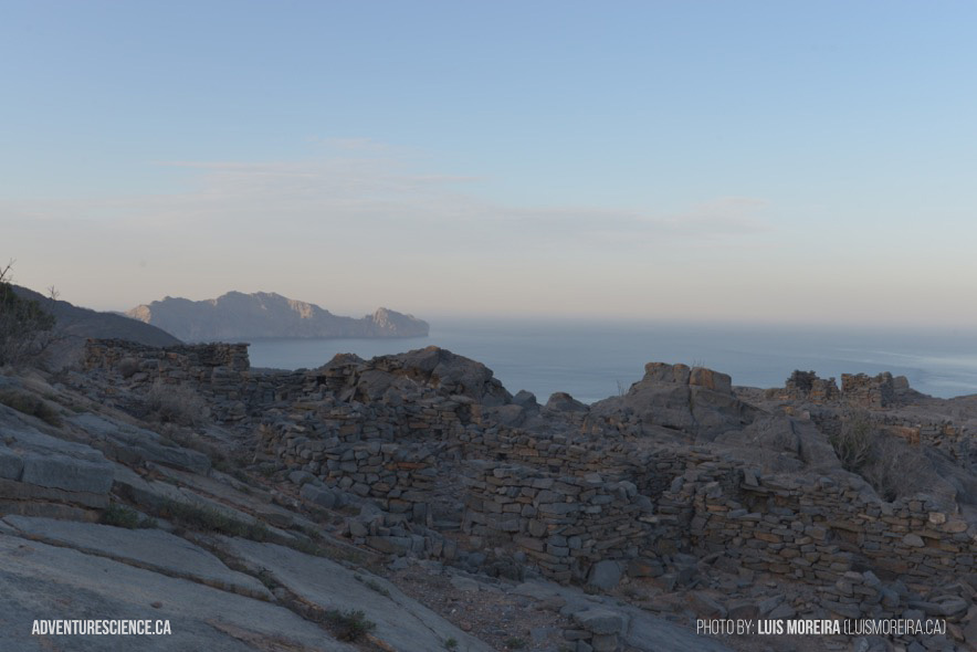
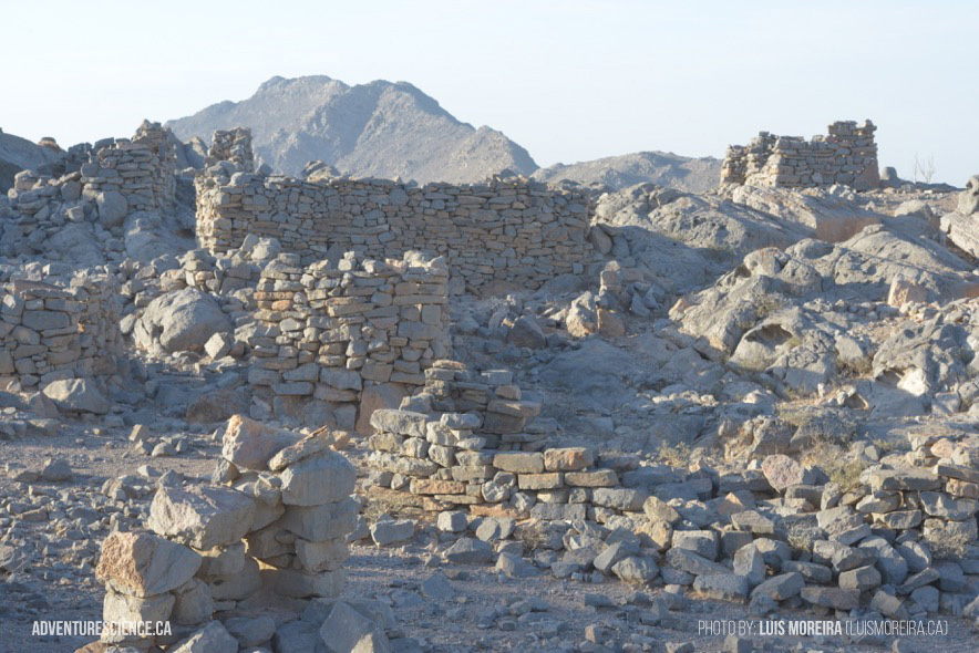
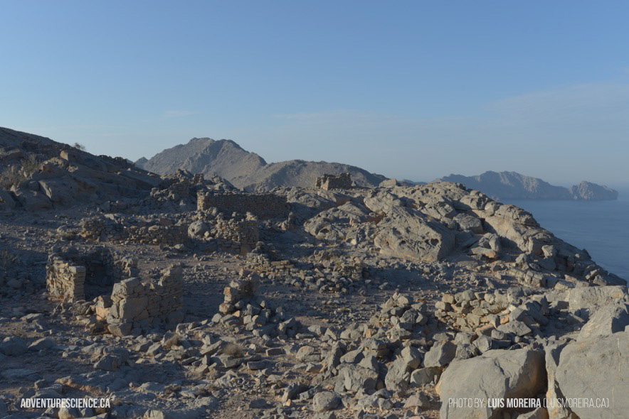
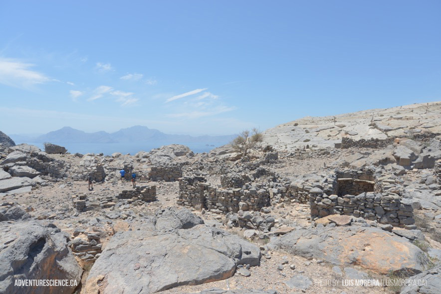
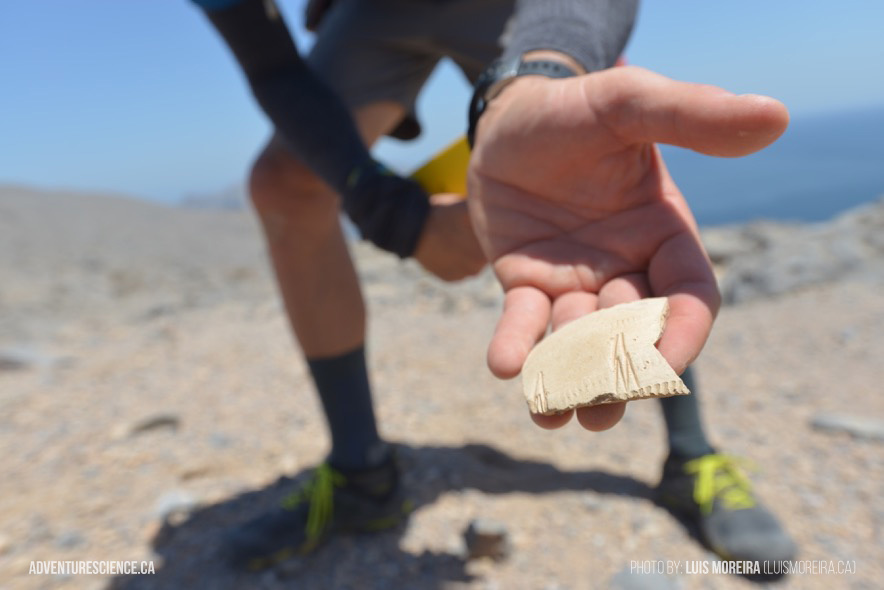
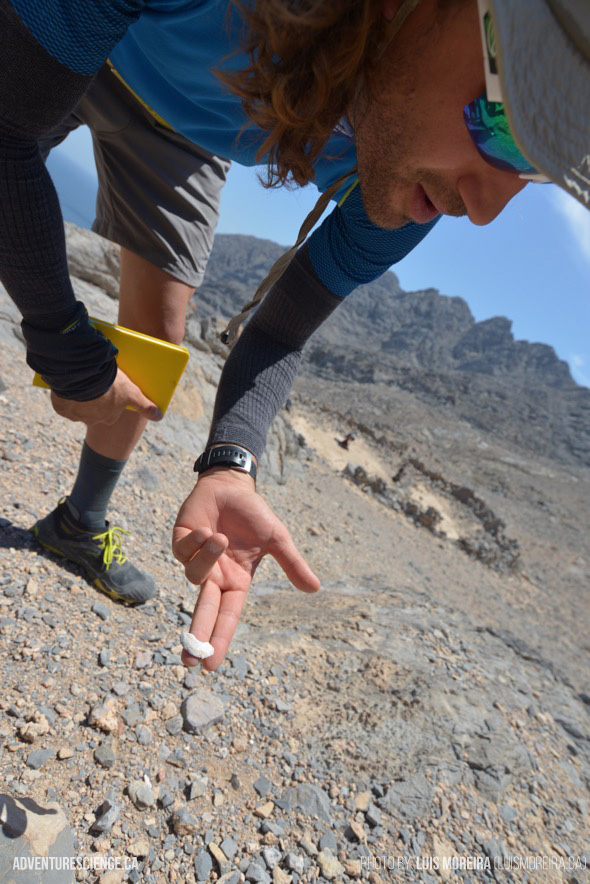
The goals of this project are to further explore this remote and roadless region to assess is archaeological potential, as well as search for any evidence suggesting the presence of the critically endangered Arabian Leopard in the area. The team will trek through the highlands in search of undocumented abandoned villages, agricultural sites, and other cultural items.
The geologic and geographic importance of this region was recognized in 1971-72 as N.L. Falcon led an exploratory Royal Geographical Society (RGS) expedition to the Musandam Peninsula to collect data on the Quaternary history of the region. The expedition collected geologic data offshore of the proposed region of study, but did not study the highlands in the area due to the difficulty in accessing them. In the RGS reports filed by Falcon, he noted that the ruggedness of the region presented a significant barrier to study (Falcon, 1973). Forty years later, the region remains largely unexplored and there is no academic work describing the archaeological record in the highlands. The 2011 Adventure Science project was the first of its kind in the region and led to numerous discoveries/rediscoveries as the three man team represented the first westerners to ever visit most of these sites.
In order to operate in such a remote and challenging environment during a two-week field season, we will be employing a novel field approach in this expedition. Rapid Survey Teams (RST) composed of adventure athletes will be used to rapidly cover challenging terrain in a safe and quick manner in order to visit as many locations as possible. Considering that this large area would be difficult to recon by conventional methods (physically or prohibitive cost), this methodology promotes a more efficient, focused, and cost effective use of researchers and research funds. In addition, the RST methodology has the potential to be applied globally for paleontologic (e.g. hunting for Dinosaur fossils in Greenland or Antarctica), archaeologic (i.e. prehistoric settlements in Canadian Arctic where vehicles are expensive and potentially damaging to the fragile ecosystem), and ecologic (plant/animal surveys) expeditions. The addition of athletes with significant backcountry experience will be an asset to the expedition because they are accustomed to operating in challenging environments and bring many skills to the project, including being disciplined outdoor problem solvers and having the ability to safely travel self-supported with minimal outside support. Most are university educated and their motives compliment the research objectives very well. Finally, long days of physically demanding work is viewed by these athletes as an enjoyable volunteer opportunity, instead of a prohibitive challenge. Consequently, the use of adventure athletes presents an opportunity to increase the level of data collection beyond that of a less fit field crew.
The team will travel from it’s drop-off location southwards along the peninsula and back to Khasab over the course of 10 days. The entire expedition is self-supported and the team will utilize several food and water drops along the route in order to resupply.